The Decatur Community Transportation Plan Update process is now officially on the move.
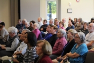
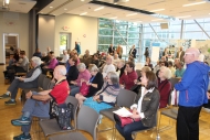
Everything kicked off with a community visioning workshop Thursday evening, October 26, as nearly a hundred interested locals gathered at the Decatur Recreation Center.
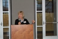
Opening the workshop, Mayor Patti Garrett brought everyone up to speed on the city’s need to update its 2007 Community Transportation Plan, incorporate our most current transportation vision as outlined in 2016’s Comprehensive Plan, and produce an updated, ten-year list of mobility goals and initiatives.
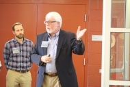
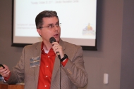
Following Mayor Garrett’s introduction, the consultant team of jB+a/BWSC and Toole Design Group reviewed the vision and goals of the City’s 2007 plan, as well as other relevant plans and studies, and encouraged attendees to think beyond mobility in the here in now. How, asked consultant John Fish, might transportation be different in 2027? Autonomous vehicles? Hyper loops? Underground transportation tunnels?
Ernie Boughman of Toole Design Group then spoke on “The Capacity of a Street,” in which he described the role and design of streets historically and how today’s focus is increasingly on once again designing streets for all users — vehicles, cyclists, pedestrians, and the adjacent residents, businesses, schools, and offices located along the street.
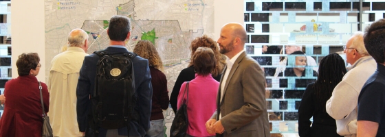
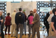
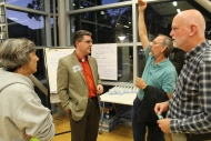
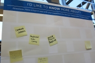
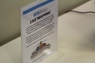
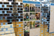
The balance of the night was devoted to feedback from the community. A large-scale map afforded attendees space to write, leave sticky notes, or otherwise identify pedestrian, bicycle, and vehicular “hot spots” within the City. Interactive boards allowed attendees to leave comments about the project’s working vision statement and indicate what transportation items they would like to know more about.
Ultiamtely, attendees were encouraged to vote for their priorities regarding transportation and what they thought the future of transportation might look like.
Stay tuned for news on our next Community Workshop to be held in early February 2018. In the meantime, anyone — particularly those unable to make the kick-off meeting — can contribute below:
Transportation Survey:
Chime in on a host of mobility issues here.
WikiMap:
Identify trouble spots or areas of opportunity here.
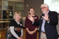
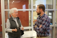
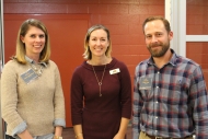
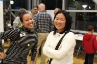
Here are some photos from the evening:

